


| GUIDING | FITNESS | USEFUL INFO | LITTLE TERROR | ABOUT |
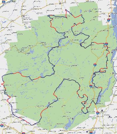
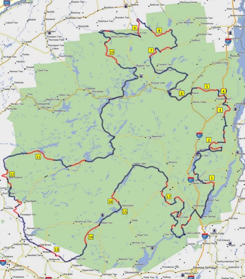
The Adirondack Adventure (ADV) Loop
| Dual Sport / ADV motorcycle route around the Adirondack Park in northern New York State | ||||||||||
| 645 miles total (194 miles dirt) | ||||||||||
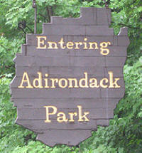 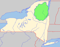 6 million acre Adirondack Park |
 |
   |
||||||||
| CHECK HERE FOR LATEST ROUTE CONDITIONS / ROAD CLOSURES / DETOURS | ||||||||||
| THE ROUTE HAS BEEN UPDATED FOR 2022 TO INCLUDE A SECTION IN THEVERY NORTHERN PART OF THE ROUTE THAT GOES THROUGH THE DEER RIVER STATE FOREST. | ||||||||||
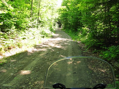
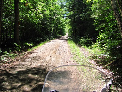
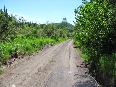
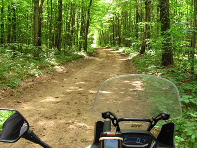
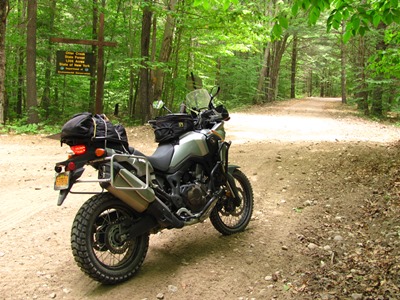
| Route Description The intent of this route was to create a tour around the Adirondacks that travels through some of the most scenic areas of the park while including as many dirt and seasonal roads as possible but avoiding out of the way detours just for the sake of riding dirt. For the most part the dirt roads and trails included on the route are of really good "technical" quality or have some really great scenery. That being said there are some sections of dirt that are rather trivial and were only included because they were "on the way" but they could be skipped without missing too much if time is a factor. See below for "favorite" sections of dirt and route notes. There are three long stretches of road riding but they do go by some of the best scenery so they are anyting but boring road miles: (High Peaks/Lake Placid, Tupper Lake/Long Lake/Blue Mountain Lake, Indian Lake/North Creek) The southwest section between Boonville and Dolgeville technically goes outside of the park and seems like it wouldn't be too interesting but it actually has some great scenery through farm country which is much different than anything in the park itself. The route misses Old Forge but it's not too far of a side trip if you really want to go to the Enhanted Forest. Direction doesn't really matter much but all of the info below is based upon a counter-clockwise direction starting in Lake George. Also, being a loop the route could really be started at any point and would typically take about 2-3 days to do the entire route but because of its odd shape it could also be broken up into sub-loops for shorter day trips. |
||||||||||
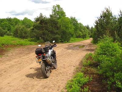
| Technical Difficulty There is nothing really too technical on the route but you will find deep sand in the north on Wolf Pond Road and in the west on the Otter Creek Truck Trail. There are also some loose rocky sections on Mountain Springs Road between Mineville and Westport and also on Wells Hill/Jay Mountain Road between Lewis and Keene. There are no major water crossings but be prepared for mud if it has rained within 24 hours. Anyone with some offroad riding skills should do ok on any size bike with 50/50 tires. CAUTION: Stillwater-Big Moose Road has lots of loose sand/gravel and has a significant crown to it (see photo below). Your bike will have a tendency to drift to the shoulder and it is very easy to lose your line going around bends . |
||||||||||
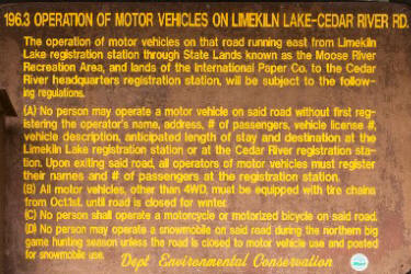
| Riding Regulations The Adirondack Park is not exactly dual-sport friendly and while there are plenty of trails for snowmobiles in the winter most of those trails are off-limits to motorcycles and ATV's in the summer. The NYS DEC is very strict about NOT allowing offroad motorcycles and ATV's on land within in the park so beware that if you explore trails without permission then you may get a ticket. Your maps and GPS will show a number of dirt roads cutting right through sections of the park but most of these are not public roads. One notable road that is actually public and does allow autombiles but is off-limits to motorcycles is the 25-mile stretch of dirt road that goes from the Cedar River Flow near Indian Lake all the way to Inlet through the Moose River Plains Wild Forest. The story goes that there was a bunch of "bikers" causing trouble there back in the 1970's so regulation 196.3 (C) was created as a direct result. |
||||||||||
 |
||||||||||
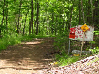
| There are also many
roads leading to private camps in the Adirondack park that you
may find yourself on without knowing it and these usually
dead-end at a locked gate. On occasion the gate will be
open and it is tempting to ride through it but look for posted
signs before venturing any further. Sometimes the property
owners welcome people on motorcycles and other times they don't. The exception is the trail network in Lewis County on the west side of the Adirondack Park (Lowville/Tug Hill Plateau area) which is open to motorcycles and ATVs but you need to purchase a trail pass from Lewis County: https://www.lewiscounty.org/departments/recreation-forestry-and-parks/recreation-forestry-and-parks All that being the case, this route sticks to public roads and trails that are legal to ride on with a registered motorcycle. Please obey posted speed limits and "no trespassing" signs because complaints from the local residents could lead to more regulations. Also if you see horses on the trail near Otter Creek State Forest then STOP so you don't spook them. |
||||||||||
| Camping In the Adirondack Park you can camp anywhere on state land given that you are at least 150' from any road, trail, or stream, and not in an area designated by "no camping" signs. There are also several state campgrounds located throughout the park. For more information check out: https://www.dec.ny.gov/outdoor/camping.html The GPX file and maps (see below) show locations of several known FREE camping spots along the route or close to it. |
||||||||||
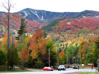
| Season Many of the seasonal roads aren't maintained through the winter and often have snow on them through the end of May. Some roads are gated and won't be open until May 31. Bugs (black flies, deer flies, and mosquitoes) can be really bad during the late spring and early summer months. The black flies usually die off by the end of June but the mosquitoes will hang on throughout the summer though they get more tolerable in late August when nights start to get cooler. Fall is probably the best time to ride since it is cooler, the bugs are gone, and the fall colors are awesome, but this is also when the main roads see the most automobile traffic with leaf-peepers. Winter can start as early as late-October some years. |
||||||||||
| GPX files ADK_ADV_LOOP_02JUN2022.zip ADK_ADV_LOOP_06MAY2022.gpx Contains tracks of the entire route broken up into 3 sections along with several tracks of dirt roads and trails that are not on the actual route but are fun excursions and worth checking out along the way. This file also contains waypoints for gas, camping, food, etc.
|
||||||||||
| CHECK HERE FOR LATEST ROUTE CONDITIONS / ROAD CLOSURES / DETOURS | ||||||||||
| Paper Maps | ||||||||||
| The best road map that I've found for the area is the JIMAPCO Adirondack Map, but unfortunately the company recently stopped printing these maps. There are still some available in stores around the Adirondacks but they won't be re-stocked after they're gone. | ||||||||||
 |
||||||||||
|
||||||||||
| For questions contact mike@clideadv.com | ||||||||||
| See bottom of page for map with photo locations. | |
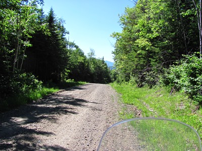
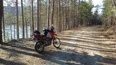
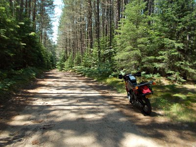
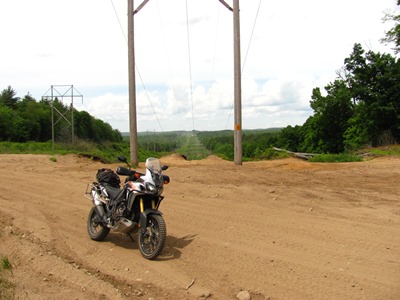
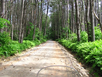 1 Padanarum Road |
 1 Padanarum Road |
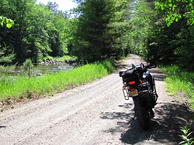
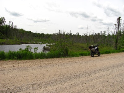
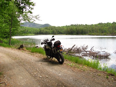 2 Fleming's Pond |
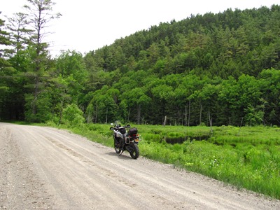 2 Old Furnace Road |
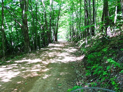
 3 Mountain Spring Road |
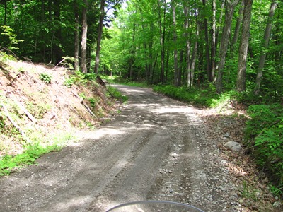 3 Mountain Spring Road |
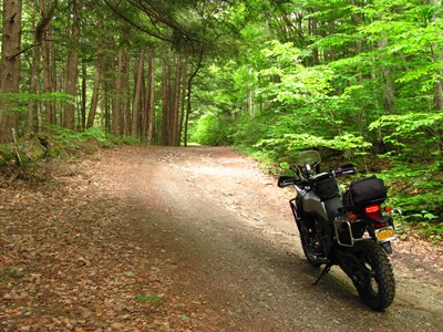
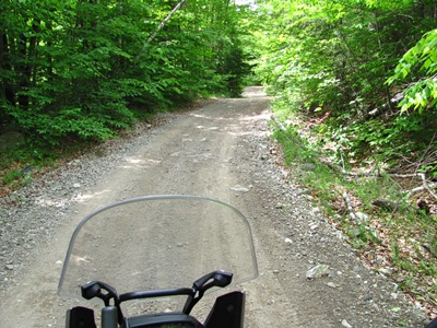
 4 Steel Woods Road |
 4 Steel Woods Road |
 5 Wells Hill Road |
 5 Wells Hill Road |
 5 Jay Mountain Road |
 5 Jay Mountain Road (Whiteface Mt. visible) |
 5 Styles Brook Road |
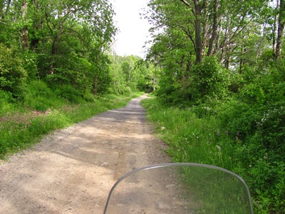
 6 Cascade Lake |
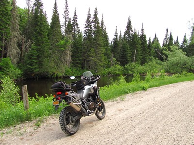
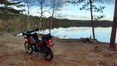 7 Lake Kushaqua camp site |
 7 Kushaqua Mud Pond Road |
 8 Wolf Pond Road |
 8 Wolf Pond Road |
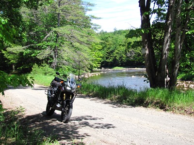
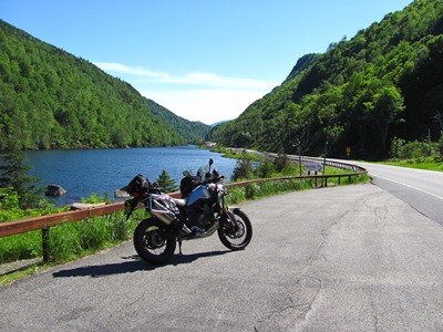
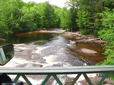
 9 Salmon River |
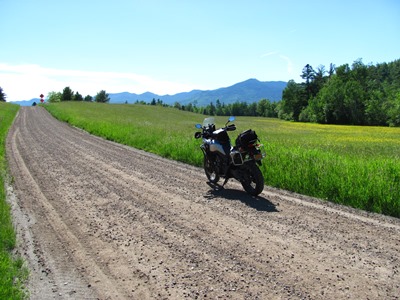
 10 Blue Mountain Road |
 11 Stillwater-Big Moose Road |
 11 Stillwater-Big Moose Road (notice crown) |
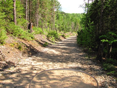
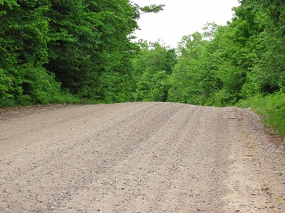
 12 Burnham / Confusion Flats Road (sand) |
 12 Hiawatha Lake Road |
 12 Otter Creek Truck Trail |
 12 Otter Creek |
 12 Otter Creek State Forest |
 12 Vanarnam Road |
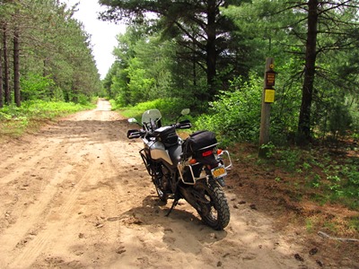
 13 Military Road |
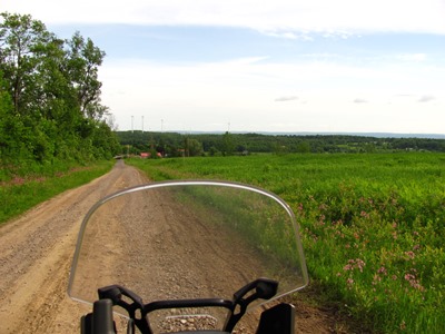 13 Comstock Road (wind turbines on the horizon) |
 14 Piseco Road |
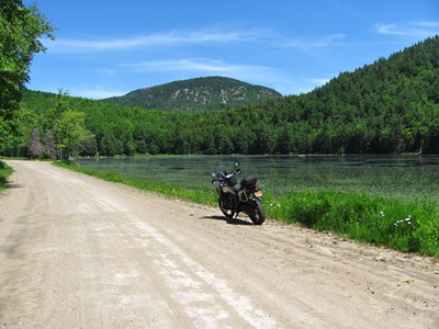
 15 Lake Pleasant |
|
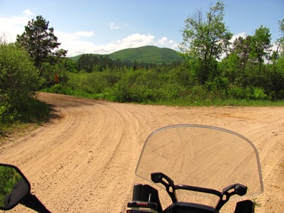
16 Perkins Clearing Road |
16 Perkins Clearing Road |
 16 Old Military Road |
 16 Old Military Road Junction |
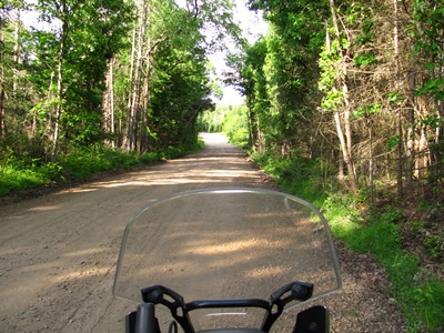
 16 Jessup River Road |
 16 Jessup River Road |
 17 Armstrong Road |
 17 Garnet Lake Road (Crane Mountain in background) |
 |
COPYRIGHT © 2020 WWW.CLIDEADV.COM